Adventure Hikes with Uncle Norm
A Guide for the Intrepid Wanderer
By James Norman
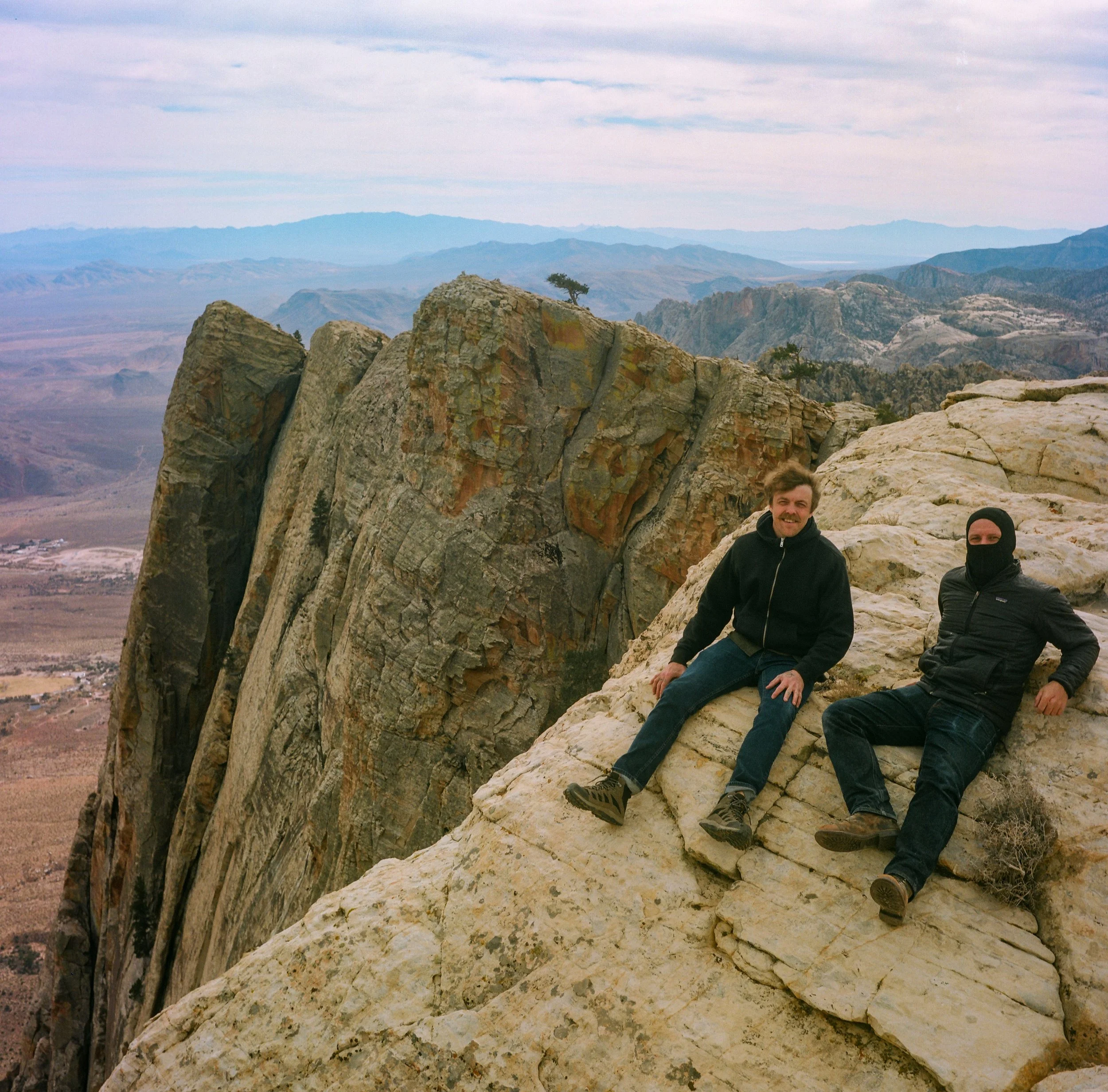
The author with his friend Walker at the top of Mount Wilson on a fiercely windy Winter day. Not very good wingsuit weather, so we decided to take the long way back down. And you know, it only took us 20 years of stumbling around the area to think to summit something.
A Scenic Introduction
(i.e. the Infamous Personal Part)
It was the look in their eyes as they passed by, churning a polite amount of dust in their creeping, decked-out Sprinter, chunkily outfitted with modular canopies and a generator hanging off the back. I’m not saying that look was pity, but as far as vans go, I’m sure they were getting much better mileage than my rusty, dented, sky-blue Chevy G-20, which usually stinks of the gas it doesn’t correctly burn. They call the Quadrajet carburetor a Quadra-junk for a reason. But then I realized it must be the sardines. Or that I was blissfully drinking the sardine juice from the bottom of the empty tin, slurping so hard I looked like a mime, comically mimicking slurping.
Not to mention that I, myself, looked like exactly the kind of man who would drink the sardine juice from the bottom of the tin—feral, unshowered (some would even say free of the mores and strictures that come with a Sprinter-sized car payment). But because it was getting deep into the afternoon, my reasoning was more pragmatic. I had just returned from the endless stretch of wash that I first crossed that morning, at dawn, on my way up Pyramid Peak (right outside Death Valley National Park proper). The reason mackerel is currency in prison is the protein, after all... Safely back at van row, I was trying to beat the impending purple sky to Tecopa for a soak in the hot springs, perhaps drink an air-chilled beer and attack another can of sardines, watch the stars wink all night and, finally, laugh along with them. In the morning, I would turn 41 years old. But over the previous year I had hiked 40 mountains to commemorate. Call it a midlife crisis. But it was a much prettier midlife crisis than your average Miata.
And in the spirit of gesamkunstwerk, the concept of a singular but layered and woven work of art combining many different mediums, I had begun to see it as something more than an arbitrary number connected to an arbitrary age in our base-10 construction of ourselves. To me, experience itself is all-encompassing, and there is a mantra I often repeat when I am deep in that flow state: “My body is a beautiful machine, but my heart is the engine.” Even the Buddha has to wipe the sweat from his brow, first, if he is to take it all in.
The desert has a beauty that enters your body like the prick of a thorn. You stare at it for decades and see nothing. Then, one day, during any random stare-down, suddenly it draws blood. It enters you like a flash when you aren’t paying attention, at first assuming you’d just grazed it again. But the thorn shivers deeper the more you fidget with it. I am a different man since this unplanned conversion. I no longer dream of trees, of redwoods and cypress and the smell of rotting oak logs, of pine needles gone detritus and then loam. Instead, it’s the brutal and stark sense of space, the infinite contours of the rock, the variegated shades of geology like a layer cake, sandstone, granite, unforgiving igneous moonscapes… It’s the way the horizon plays tricks on you, begins to quiver with the pulse of the world. The emptiness transmogrifies into motion. The sun itself churns inside you, waves of pleasure and pain, oscillating into your bones. You end up vibrating, an organic tuning fork, blood loud and rhythmic with your own beating heart under exertion. You realize that to exist in a place where existence itself is so precious offers us a rare gift of insight. That ego is finally scorched right off your skin, a smokeless fire of illusions and desires laid bare, naked as the landscape.
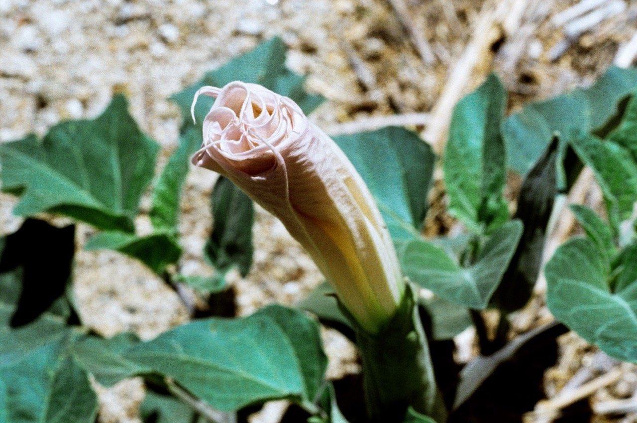
500 years ago, ripped on Datura, it was Scorpio season, and the Bighorn cowered in absolute terror. Back then, everyone was in retrograde
This feeling, the one that comes with wandering deep into that horizon–it was the rebirth I needed. Silence is a powerful drug. Silence and space combined, well that is more profound than any designer party concoction I’ve ever snorted or swallowed, no matter what the Burner-Bros insist [to the contrary]. And as the project progressed, I realized I wanted to share it, since that’s what turns “the experience” into “the art.” Not all of it—there are places I would prefer the trail to remain empty—but these hikes are also not casual, in any sense of the word. That’s what makes them so revelatory. And if you seek, then you will find.
My friends archly called them “Adventure Hikes with Uncle Norm.” Though as far as this public guide goes, I’ve tried to keep them in the minor leagues, so that no intrepid wanderers might need be rescued cliffside. However, to anyone who is used to well-maintained trails full of kids and dogs and park rangers, these will likely be some of the more challenging hikes you have been on. To compensate, I tried to keep them short, easy to bail on, and—as long as you know your body and your limits—that makes them a great gateway drug to more serious stuff.
There is a kind of Type-2 fun where the price you pay is actually an investmentinto the delayed gratification. For example, if you make it to the top of Wilson after only having experienced Red Rock through the various canyon pull-outs or surrounded by aspiring influencers and wedding photographers in Calico, it will completely reinvent your relationship with the area. To know what the Keystone Thrust is, intimately, to have some measure of the different canyons and sub-canyon forks, to have seen structures and landmarks from different angles and elevations, there is a richness inherent to that experience that is addictive. And it’s right in your backyard, butted up against the Spring Mountains (equally vast and explorable), within daytrip range of Death Valley, the Superstition Mountains, Ave Qua Ame, Lake Mead, Muddy Mountain, Valley of Fire, Painted Desert, Zion, Grand Canyon, Bryce Canyon, Brianhead, The Hualapai Mountains (Kingman)—the point is there is so much to see. The point is there doesn’t have to be a reason for every damn thing. The question becomes… Why not? Why deprive yourself? What are you getting in return for all those hours of scrolling?
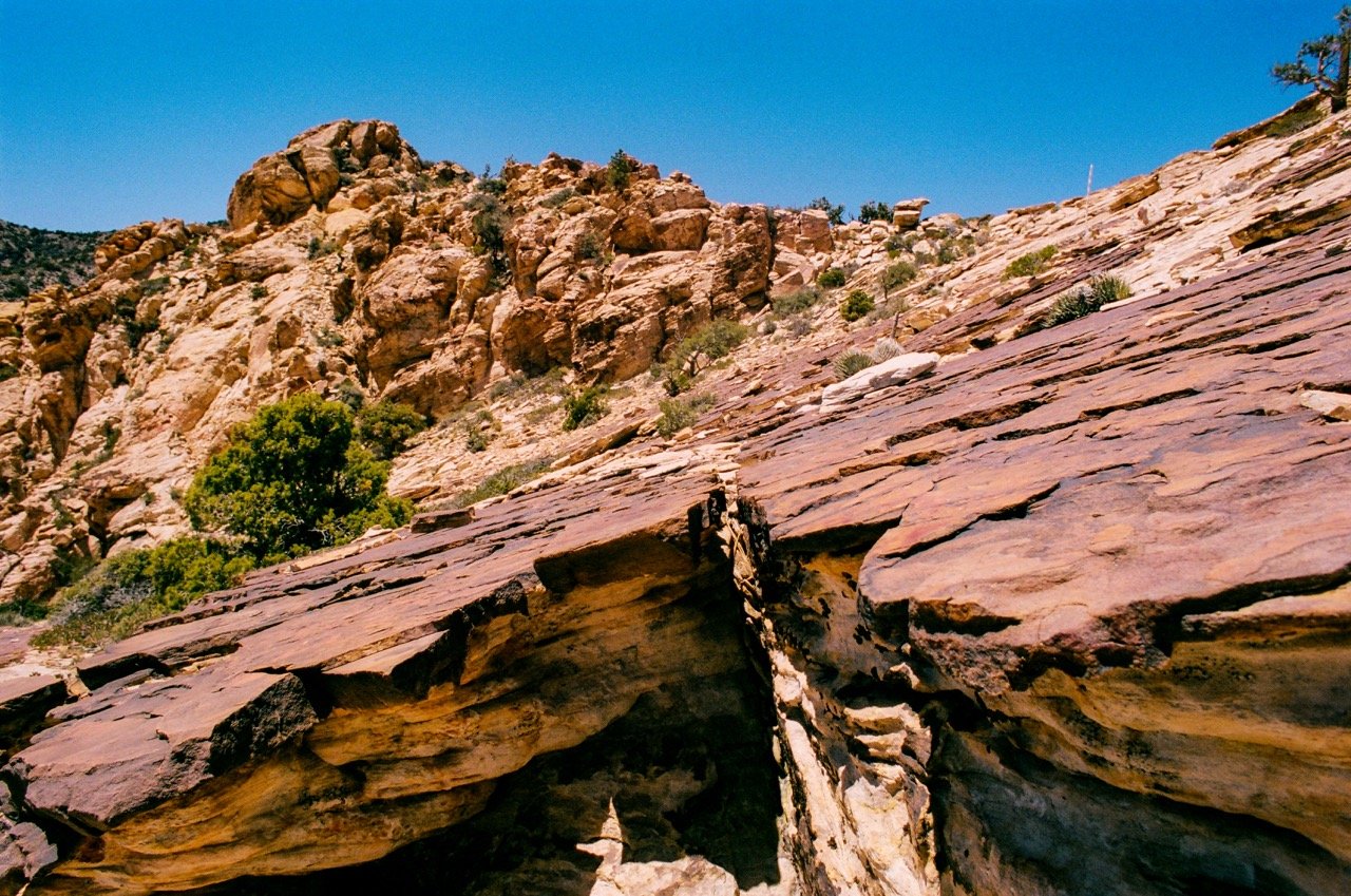
Speaking of Datura, it usually only blooms for a day or so. It's a member of the nightshade family, which means it is absolutely toxic. My buddy said it turned him and all his teenage friends into cartoon robots. So maybe not. Or maybe cartoon robot is our true Buddha nature. Meditate on that for a minute.
And to prove that, I brought a series of my old film cameras up with me. Perhaps there is nothing I can say, but natural beauty is still the best Instagram filter. Just remember the old adage: Often, a mere hundred feet past where the trail ends you will find yourself all alone. That’s the idea here. These are trails that most people don’t see as trails. They take real investment. Real effort. And they come with real reward. Remember, it’s not just the view. It’s the silence, the space to hear yourself think. Don’t put in headphones. Don’t spend the whole time buried in a screen. Try to record those kinds of cinematic, irl memories that will bring you peace in that final instant, when it’s all just reruns anyways. What kind of movie would you happily watch again? What kinds of experiences are more than canned, audience approval to fill the space between commercials? And what if the final thought is the only one that matters? That’s how one lives after enough DMT. Like they know how wild the molecules inside our own brains are. Like they understand there is a chance that infinity can hide curled within the superposition of a single quanta. “O fellow pilgrim, the time hath now come for thee to seek the Path…”
Be safe out there. Be bold. But mostly, be present.
Things to Bring
Headlamp (always, on every hike, because you never know how the day might end—or when!!!)
Sunscreen and sunglasses (polarized can make it easier to spot cairns on bright days)
Layers in the winter (you will exert, elevation will change, be prepared for a range of conditions within the same hike)
Light, long sleeve, button-up shirt in the summer (you can roll the sleeves, button and unbutton, and they make a real difference if you get caught bushwacking)
Jeans or lightweight pants (shorts are for flat hikes, not scrambling, but fuck around and find out, if you feel the overwhelming compulsion to show off them gams)
Plenty of water
GPS app for your phone
Already-broken-in boots or shoes with grip and padding
Snacks (based on your metabolism, but these are all calorie burners, and the only time I had to turn around on a hike was because I hadn’t eaten enough and got sick)
Toilet Paper (just in case, it’s no fun to wipe with a cactus if you get caught slipping)
Things to Leave at Home
Athleisure wear (plastic is gross, especially in clothes, release your inner Edward Abby, dress like it’s the 60s, make the tourists wonder if you live in a cave somewhere)
Headphones (that doesn’t mean just play music out loud on your phone, dick, try listening to nature, for a change, don’t you know people pay good money for that kind of white noise)
Imbibables (these hikes, with the exception of Grapevine Canyon, are not the best for vision quests, so maybe try something flatter if you want to see the Aliens in their natural habitat)
Trash (everything you bring should leave with you)
White Rock Spring Peak
4.2 miles round trip. 1,174 ft.
This hike is a great introduction to scrambling in Red Rock. It doesn’t exceed Class 2 and is available on AllTrails.
The White Rock Trailhead is about halfway around the Red Rock Scenic Loop. There are two parking lots, one at the end of the dirt road, which should be accessible for all vehicles but lowriders. The hike starts up the obvious ridgeline, often veering to the left just below. There are plenty of cairns, one might even say enough to be less than helpful—cuz, you know, assholes and opinions—but the closer to the ridgeline you stay, the easier it is. About halfway up, you begin to see a faint social trail that cuts to the right to gain the steeper, crumblier part of the ridge. Once you gain that final ridge, the proper summit is still off to the left. You must wrap around the back face some, before finishing the ascent. But if you don’t want to deal with all that, don’t worry, I won’t tell. For extra credit, adventurous folks can continue onwards, only with an even more significant side-hilling descent, first, towards the saddle. After that you can restart the ascent to the real high point of White Rocks. But let me repeat, if you don’t descend far enough down the backside before heading towards the saddle, you will be cliffed out. I was, several times, thinking I was smarter than the sandstone. So not only am I as dumb as a rock, I guess I’m even dumber. Don’t be that. Go around. Be generous in your descent and thicc in the curvature of your workaround.
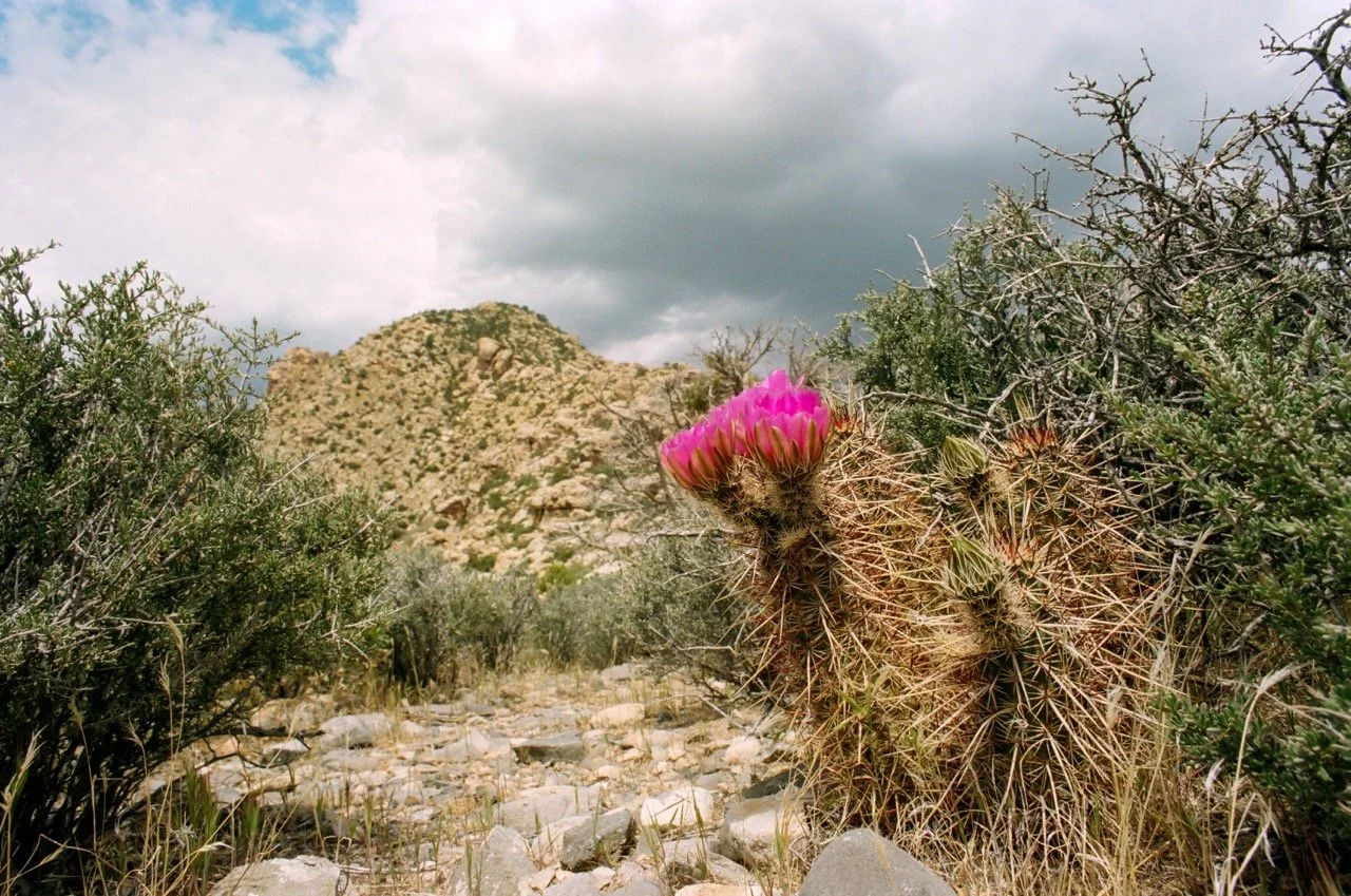
La Madre or La Padre as seen from White Hills. Hard to tell. And I ain’t your psychoanalyst anyway, buster.
This second high point takes more route-finding skill, as it is not listed on AllTrails. How fun! The sandstone can be difficult to navigate without the cairns, especially as you approach the pinnacle, so if you go too long without seeing one, pause and regroup. Maybe have a beer. Wait—you didn’t bring a beer… Remember that whole section about being well prepared. Oh well, that’s probably the safer way to do it. And hey, I only got lost once, because I forgot beer too. At the very top, you have to travel to the left a while along the cliff band before making your ascent. I saw what looked like a possible route going straight up, but it quickly moved into Class 3+/4. Maybe if I had brought beer, I would have felt a little more risqué, but for the sake of this article, I’m glad I didn’t. It is much easier to work your way around towards Bridge Mountain and ascend from there, finally doubling back at the ridgeline left to right (facing Bridge).
Mount Wilson
8.4 Miles Round Trip. 3,400 ft.
This is maybe my favorite hike in Red Rock. It is not the hardest, though it is certainly an accomplishment (that will take all day for most people). But the canyon funnels you right out onto the slab to double back onto the peak itself. And importantly, it is Class 2 the whole way up, which means the danger level is low, even if the fitness level might be challenging for casual hikers.
Start at the First Creek Canyon Trailhead. Follow the trail until you end up in the canyon itself, boulder hopping. It will be tempting to leave the canyon to take the social trails through the scrub, but they aren’t going where you want to go. In fact, I think the critters only leave these game trails to have their revenge on us foolish humans, because they almost always fizzle out into nonsensical bushwacking. You are better off on the rock.
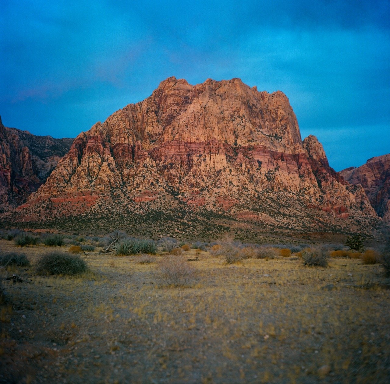
If you forget toilet paper, try to do it in the Spring, when the Cacti are in bloom. A few petals ain’t much, but it ain’t nothing. I mean, until the Rangers install a bidet out there, it'll have to be enough.
Like most of the canyons in Red Rock, there are many options, so take your time and stick to your comfort level. The hike is physical, so if you are struggling in the first hour then just turn around. Maybe try White Hills Peak first or hang out in Calico to get your comfort level up. The only real fork, stick to the right, as Mount Wilson is on your right. Unless you are a sick-ass wellness guru and can levitate across the void. In which case, why aren’t you out grifting someone? Leave the struggle to us mere mortals.
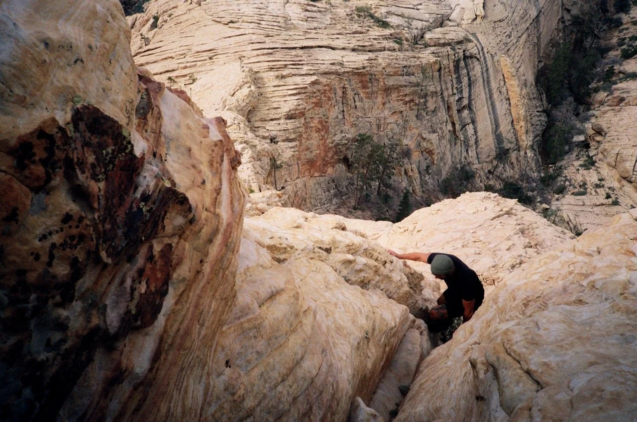
That’s right, keep hopping those boulders. Over time (hours, folks), the canyon will continue to narrow and get steeper, and—as advertised—the pines (after which that other “Pine Creek” is named, but it’s poly, so…) are very pretty. This is also a sign that you are getting close. But you want to take the canyon all the way until you are kissing the Keystone Thrust (itself grey limestone kissing all up on the previous rainbow-sherbert sandstone), right before which a social trail will appear on the right to double back along the slabs. There is a false summit, but this part is easy to follow, as long as you can spot the cairns (of which there are plenty). The view is my favorite in Red Rock, and there are plenty of points up top to explore, if you aren’t in a hurry to get back down. If you are in too much of a hurry, some of those vistas are steep, don’t get cliffed-out. If you brought your wing suit, you might make it… a pinch of magical thinking, an expertly puckered butthole... You didn’t though, did you? So, just save some energy. Take your time laddies and lassies. All that Boulder hopping is more exhausting on the way down than the way up.
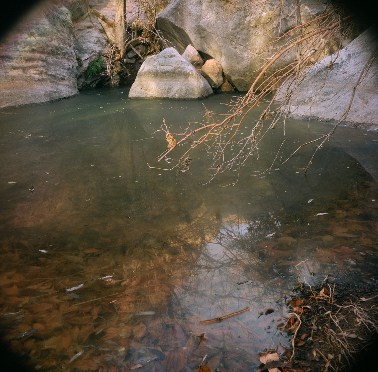
Mount Wilson in the dawn gloam, mean mugging our sleepyhead asses. The farther back you get, the more water you find. You know, it's ten degrees cooler in Red Rock than in the city. Pine Creek will get real piney and real creeky on ya.
The Sisters
5.2 Miles Round Trip. 1,988 ft.
One of the shorter summits in the Spring Mountains, but still remote (enough) after you reach the first fork. It is steep in sections, although it compensates for that in its brevity. And the end has a dash of scrambling, if you want to get to the proper top. The last stretch of the hike has quite a view, as you can see the valley huddling beneath the MacFarlands and Mac’s Canyon, which is less traveled than the rest of the greater Mount Charleston area.
Start at the Old Mill Canyon Picnic Area near the first roundabout in Lee Canyon. The trail starts at the end of the picnic area. There is a cairned fork right before you have to cross over the creek bed. In fact, the spur follows the creek bed to its right, so if you miss the cairn and cross the creek, you’ve gone too far. From here the trail is easy to follow, and it continues pleasantly enough, at first, slowly getting steeper as it hooks to the right again. To gain the ridgeline is a slog, but it’s not the only slog on this trail, so push on and keep a good attitude. You’ll need it later. At the ridgeline, you want to continue to the right. If you go left, you are headed towards the MacFarland Peak Trail, which is much longer and definitely more challenging. Instead, keep slogging your way up and to the right, where a faint social trail leads you to a second resting point, looking directly at a view of the South Sister. Take a moment to catch your breath. Then, one final brief descent and the summit climb looms ahead of you. Be careful to keep your footing, as it is not only steep but kind of crumbly. But the trail is traveled and you should be able to keep pretty easy track of it, especially in the steep parts. And just think, some of these suckers don’t even have real trails… I mean, look around you… imagine if you were just bushwacking up, that would be so much worse. At the top, the peak involves a Class 2+/3-ish move and is a real 360-degree darling. Don’t worry, it’s much easier coming down, as long as you keep your feet under you.
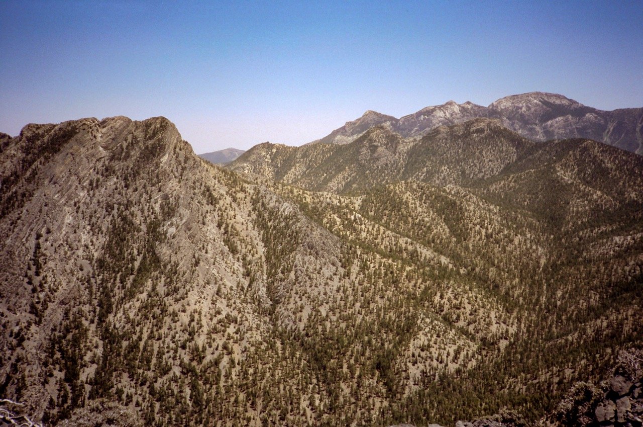
The backdoor to Charleston. If you feel sparky, you can tag Mummy or Fletcher on the way. You can also see a 3,000 year old tree on the way up, if that's your kink.
Frenchman
4.1 Miles Round Trip. 2122 ft.
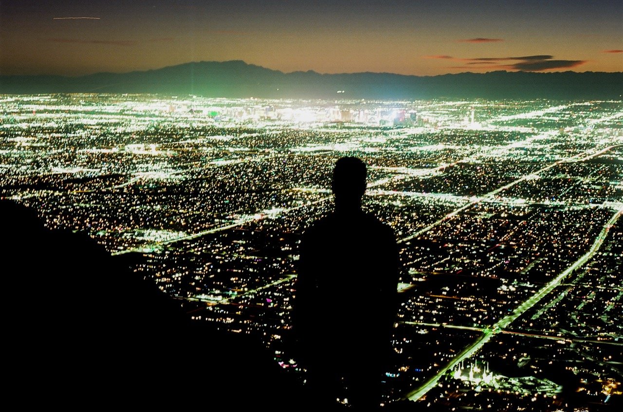
Right on the edge of town, I mean, how the hell have you not done this hike yet?! The view is my favorite of the city itself and all its demon lights, which means this is best done an hour or two before sunset, depending on how fast you can haul yourself up a steep and unrelenting hill, because you are, in fact, facing Westward.. You can finally watch the Sun take its Kamikaze death descent somewhere behind the distant range that frames our little Valley. Then the lights turn on. And that is worth the hike all by itself. But you already squeezed in sunset, so you are double dipping. Don’t let the IRS know. They’ll take you in for beauty evasion.
Drive to the end of Lake Mead until it leaves the East Side and begins to actually ascend towards Lake Mead. There is a turnoff by the access road, which is obviously gated. No cheaters anyway. The hike itself follows the access road, which eventually leads to a series of switchbacks. By this point you are probably tired, and very grateful to reach the crest only to realize… aw shucks, that’s only the halfway point. There is Frenchman proper, after a descent and then a reascent, followed by more of your old friends, the switchbacks. After the view and the lights and all you are probably kicking yourself because Uncle Norm forgot to tell you to pack a headlamp. Don’t worry, that was intentional. The moonlight and ambient city light are plenty to get you home, as long as you sign this waiver, first, releasing me of all liability in case of any unforeseen accidents…
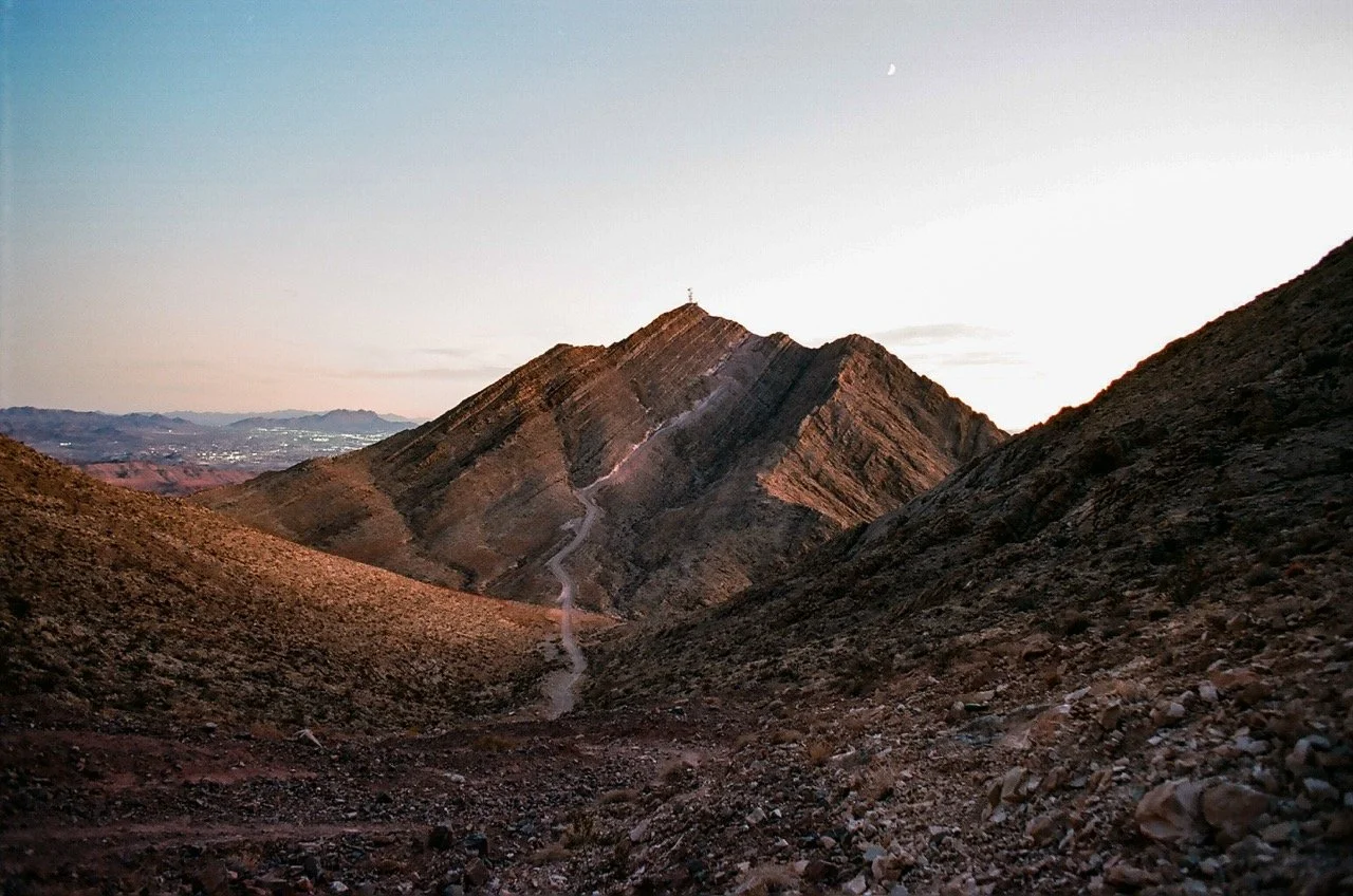
"Aw shucks, that's only the halfway point..."
Bowl of Fire
4.2 Miles. 410ft.
No mountains here. Unless you want. I mean, Murphys, Polytick, and Anniversary Narrows are all kind of lording over you wondering if you’ve got the right stuff, but, nah… I can’t really help you with all that. Try “Stav is Lost” (a great resource for scrambling and peak-bagging in the area) if you feel like making this scenic route a little more pucker-worthy in certain areas related to your digestive system. I’m just trying to get you away from people, and this hike gets you to the kind of sandstone you’d normally drive up to Valley of Fire for, but since the turnoff doesn’t have a ton of room for parking, you can skip the crowds and have it all to yourself, maybe. Or maybe in writing this article I have ruined that possibility for all of us. I doubt it, though. These hikes are all just inconvenient enough to prevent them from getting too popular.
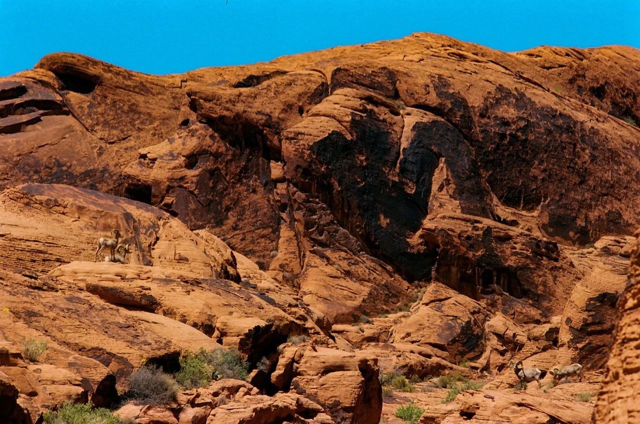
As mentioned, the Bowl of Fire trailhead is more of a pullout, which then follows a wash until, eventually, you begin to notice, oh wow, I’m surrounded by red sandstone. This must be that “Bowl of Fire” that Uncle Norm was talking about. Well now you are there. There is a route on AllTrails, sure, but that’s no fun. You are, after all, an aspiring anarchist-naturalist, in the spirit of our patron saint, Edward Abbey. You want to explore a little, and it’s worth it. The formations are very pretty, plus there is whatever kind of scrambling you feel like getting into. Hell, last time I was out here I saw a Bighorn skull, so I assume that—unless the rest of them have all been Raptured by their own Bighorn Jesus who came to save them from our dirty, carbon-consuming ways—they are still out there. Give a thorough look around. See if you can find them. Then work your way back and pull a Radler out of your trunk that is somehow still cold after all that hiking. That’s what happened when I did it. You know, they do say the Lord works in mysterious ways. Especially that pesky Bighorn Jesus. I think they just call him Dionysus in other parts of the world. Or Baphomet.
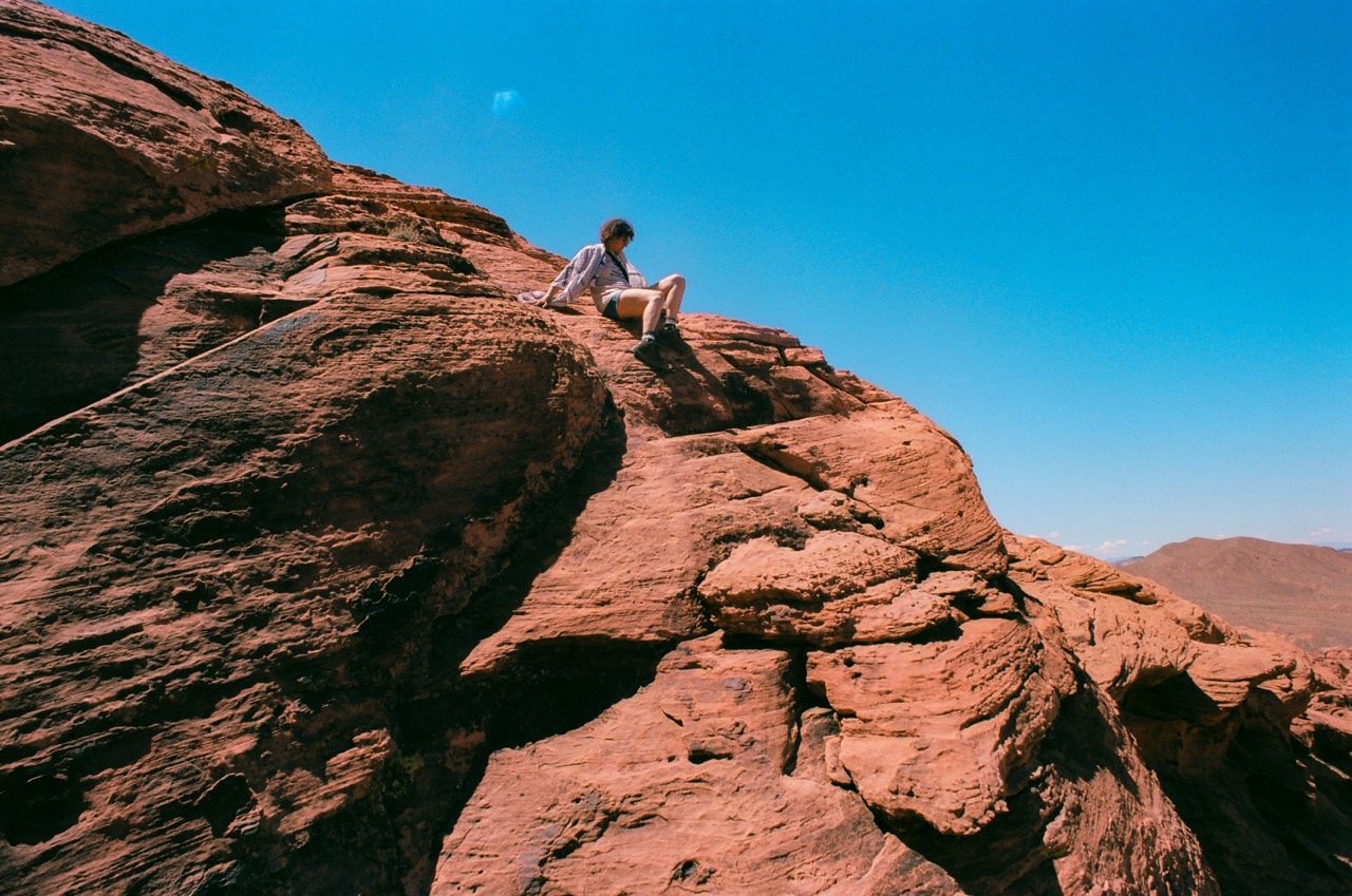
Emily Venery Vagabond goes on an actual excursion (as compared to what we are doing in Iran) into Bighorn territory (so maybe it is an incursion, after all) with her Uncle Jimmy Vagabond. Valley of Fire.
Grapevine Canyon
Half a Mile to the Petroglyphs. Another Half to the Grapevine…
It’s the Petroglyphs. Personally, I’m such a sucker for bathroom graffiti, any kinds of wayward messages from the stoned or imbibed. I’m not saying that the Natives around these parts were stoned or imbibed, but I have seen an awful lot of Datura around these parts, and I had a buddy when I was young that brewed a tea out of that stuff. They called it Hell’s Bells where he lived in the Crusty Lower Intestines of the Inland Empire, and according to my research, it’s a deliriant. Anyways, based on that story, cross referenced by some of the Petroglyphs, I wouldn’t be surprised if a little bit of imbibing was going on. I mean, as a man who both imbibes and likes to tell and record the hijinks that ensue…
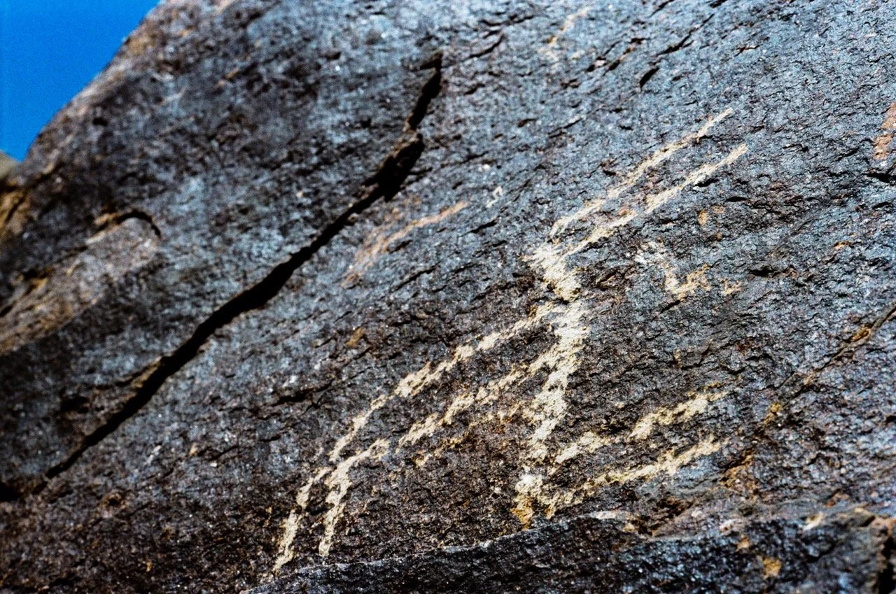
Petroglyphs at Grapevine Canyon
But this is more than a chance to spend an hour in an open-air gallery wondering about earlier modes of being. This is also the kind of hike you can take the kids on (or even the dog-kids on, if you are one of those doomscrolling millennials who thinks it’s irresponsible to reproduce, considering the state of the world right now). And the Wild Grapevine in the canyon is very real. As are the Cholla blooms (if you know the right time of year to go), the Cottonwoods, the Barrel Cacti. It’s a green chunk of desert in the spring. And you can follow the canyon back as far as you’d like. After it narrows into a particularly photogenic squeeze that requires an easy workaround scramble to the left to bypass, the grapevine really chokes out into a vegetal maze, but beyond that… well, it just keeps going, and eventually, ascending.
For additional adventures, if you take the dirt road farther it turns into Christmas Tree Pass, where the trailhead for Spirit Mountain (another highlight of Avi Kwa Ame) starts, though it is a steep and crumbly, albeit short (4 mile round trip) hike with a stellar view of Laughlin. Speaking of which, Laughlin is worth the visit. All the ghosts that Vegas has chased out are eventually regurgitated into Pahrump and Laughlin. It’s a spiritual sewer system. In fact, did you know there is a Dotty’s inside the Laughlin River Lodge? Maybe that’s the next guide I’ll work on. All the best Dotty’s in the Valley. Would you read it? Forty mountains in a year got a tad sketchy at times, but forty Dotty’s would be a flat-out irresponsible level of risk to take on, even with all my stupid luck.
James Norman is a carpenter, poet and photographer. James Norman still digs ditches, when that's all the work available. He is a humble man from humble origins fighting to the death with his own ego. But arent we all... He also likes to climb mountains in his free time. James Norman is a lifelong vagabond who always pulls the Fool card.